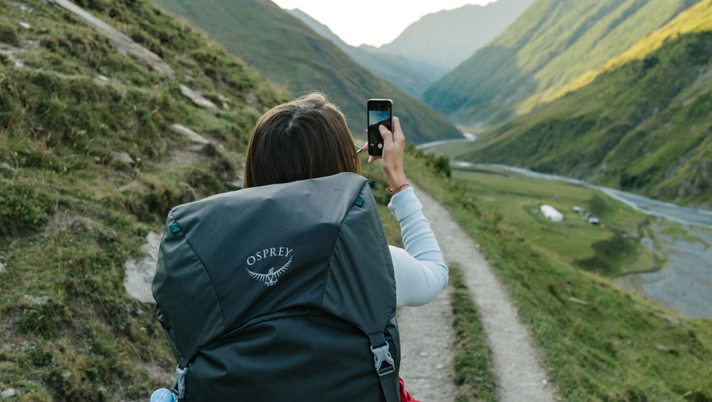
The smart phone has become an essential part of all our lives and that’s no less true when we’re out exploring the hills and mountains. We’re very used to taking summit selfies and calling our loved ones when we’re safely on our way home but there are also some amazing apps available to make your mountain day easier, more enjoyable and they could even save your life. Here’s a few of our recommendations:

OS Maps from Ordnance Survey is the gold standard of smart phone navigation apps for the countryside which is exactly what you’d expect from the UK’s national mapping agency.
As well as the obvious feature of being able to find yourself on a map wherever you are you can create your own routes and get access to thousands of public routes created by others as well as professionally authored walks from BBC Countryfile, Country Walking, Mountain Bike UK, Trail and AA Walks and more. You can map out your walk in advance on your home computer and it will automatically sync to your smart phone ready for you to follow and if you’re worried about losing your signal you can also download maps to view offline. There’s also some cool augmented reality features for identifying hills and mountains.
Whilst the app does have a number of free features you will need to subscribe to get access to crucial Explorer (1:25k) and Landranger (1:50k) mapping however this will cost you less than the price of a cup of coffee for a month’s access or if you’re a regular hill walker a 12 month subscription is the equivalent of £2 a month.


OS Locate also from Ordnance Survey is a fast and highly accurate means of pinpointing your exact location on the map anywhere in Great Britain. If you’ve lost your bearings or would just like a little reassurance OS Locate is the ideal companion for all enthusiasts of the great outdoors.
The app converts GPS location readings from your smart phone to Ordnance Survey National Grid references enabling you to determine precisely where you are on an Ordnance Survey map and critically does not require a mobile signal to function as the inbuilt GPS system can be relied upon even in the most remote areas.
OS Locate is packed with additional features such as the ‘share’ button which allows you to connect with friends and family via messaging and social media to let them know where you are, how your adventure is progressing and what time you will be home. It also includes a digital compass to take bearings ensuring you are on the right track.
The best part – the app is absolutely free and anyone who spends any time in the mountains should have this installed on their smart phone.

what3words is a very simple app with a very clever idea. Their technology has divided the world into 3 metre squares and given each square a unique combination of three words such as ///tinned.prompts.juggled. This can be a much simpler way of giving an accurate location than the long string of numbers that make up latitude and longitude coordinates or even, perhaps confusing for some, Ordnance Survey National Grid references.
The system is becoming much more widespread and is regularly used by mountain rescue services to help pinpoint casualties in remote regions.
The app is free and very easy to use and should be installed on every smart phone.

Hill Lists is an amazing collection of almost 20,000 hills and mountains around the UK and Ireland beautifully categorised into over 80 lists including Munros, Corbetts, Wainwrights and more. The information is sourced from the Database of British and Irish Hills (DoBIH) which has been providing a comprehensive and up-to-date resource for walkers since 1999.
The app lets you filter hills based on popular lists, view an interactive map to see what’s around you or search by a whole variety of criteria. You can also log and keep track of your ascents.
One of our favourite lists is the Trail 100, the definitive collection of the 100 UK peaks all hillwalkers must climb at least once in their lives.
Whether you’re a serious walker planning complete the Wainwrights or just casually looking for inspiration this is an essential app for all.
The app is only available on Apple devices and costs £1.99.

