Google Bard – Why It’s Important to Use a Map in the Mountains

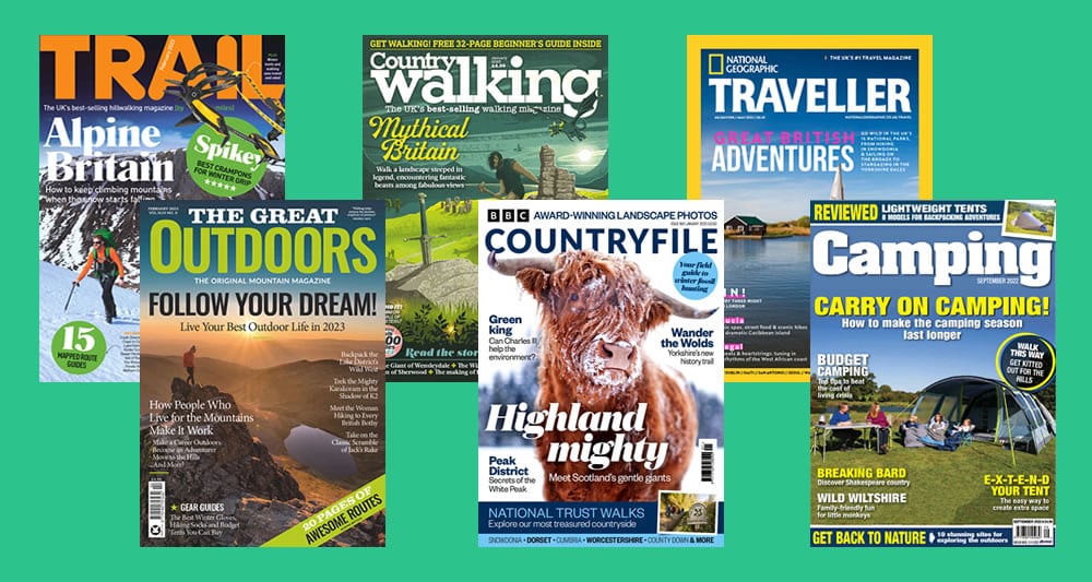
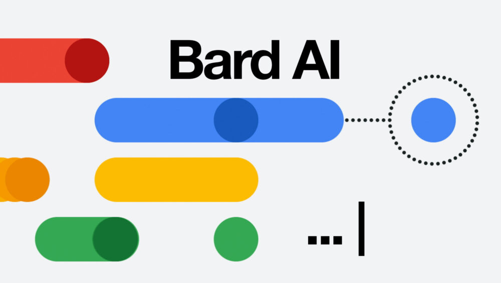
We’ve been trying out Google Bard, the new chatbot tool launched in the wake of all the buzz around online Artificial Intelligence like ChatGPT. Bard is designed to simulate conversations with a human and uses a combination of natural language processing and machine learning, to provide realistic, and helpful responses to questions you might ask it.

So we asked it to tell us about why it’s important to use a map in the mountains and this is what it came up with. It’s pretty good!

Read More

Free Outdoor Magazines from PressReader

Keen readers will likely be aware of popular outdoor magazines such as Trail, Country Walking and The Great Outdoors but did you know you can read these and many more each month for FREE?

Outdoor magazines are great way to stay up-to-date with the latest developments in the outdoor world as well as checking out the latest outdoor gear and even sourcing route ideas. There are three popular titles in the UK :

Read More
Be Adventure Smart

Be AdventureSmart

AdventureSmart UK is a nationwide safety campaign aimed at those using the outdoors. Its plan is to reduce the number of often avoidable incidents which the rescue and emergency services have to deal with every year.

Experts from leading safety and sporting organisations around the country have developed a comprehensive set of safety messages to provide the essential information needed for people to get outdoors, confident that they are fully prepared for a great day out.

Read More
Dash4it - the map superstore

Dash4it – The Map Superstore

When it comes to buying Ordnance Survey maps you’ll struggle to find a website with more choice and better prices than Dash4it. They stock a huge range of maps, atlases and travel guides for the UK and beyond. Their aim is simple – to offer the best possible prices on maps and guides, not just with occasional offers but with permanently low prices. In fact, Dash4it is so confident of its prices that they offer a price match guarantee. This coupled with their focus on customer service and satisfaction means that the service you receive really is second to none. With free delivery on all orders there’s no wonder why they’re the map superstore of choice.

Read More
emergencySMS

emergencySMS

The emergencySMS service was originally developed to help deaf, hard of hearing and speech-impaired people make emergency calls to 999. Instead of calling 999, an SMS text message is sent and then relayed through the Text Relay 18000 service. A relay assistant will speak the emergency SMS message to the 999 advisor and then send their reply back you.

Why I hear you ask is this of relevance to us in walking in the mountains? Well as you’ll know if you’ve spent time hiking in the hills around the UK, you very often have poor or even no mobile signal for long periods of time. This makes it difficult to call for help if an emergency arises. However an SMS text message can usually be sent with very little phone signal making the emergencySMS an essential service for anyone exploring the UKs mountains.

Read More
OS Maps App

OS Maps App

Ordnance Survey known colloquially as OS is the national mapping agency of Great Britain. It carries out official surveying of the country providing the most accurate and up-to-date geographic data.

The OS Maps app from Ordnance Survey provides all the mapping you’ll ever need! Using world-renowned Ordnance Survey mapping with unlimited use of every OS Explorer and OS Landranger map for the whole of Great Britain. That gives you instant access to over 600 maps to view, print, or download to your phone.

Read More
Shaven Raspberry

Shaven Raspberry

Despite the unusual name, Shaven Raspberry is the website of Scott Amos and Lyle Brotherton, two mountain rescue team members with 30 years experience and a passion for navigation. Their small organisation is dedicated to sourcing and developing quality navigation aids, tools and products for hill walkers, mountaineers, navigators and outdoor enthusiasts. They supply essential navigation tools to mountain rescue and search and rescue teams, outdoor instructors, the military and the emergency services.

Read More
Mountain Training

Mountain Training – The Award Body Network

If you’ve thought about developing your personal hill and mountain skills or even going on to lead groups in the mountains, then you’ll need to know about Mountain Training.

Mountain Training is the awarding body network for 16 qualifications for those who want to lead, coach or instruct others as well as six personal skills courses which help individuals become more independent in the outdoors. Mountain Training qualifications have universal recognition by the mountaineering councils and training boards of the UK and Ireland. They’re also recognised by the Health and Safety Executive (HSE) and other government organisations. Skills courses focus on developing confidence and skill level but not on how to look after other people.

Read More
MWIS - Mountain Weather Information Service

Mountain Weather Information Service

The Mountain Weather Information Service (MWIS) is a dedicated team of professional meteorologists with experience in mountaineering who produce forecasts for ten UK mountain areas 365 days a year.

MWIS weather forecasts contain detailed information aimed at novice and experienced mountain users. Their forecasts come largely in the form of warnings. Generally when there is little text, the conditions are fairly benign. The wording used indicates the impact of the weather on the user and particularly when there is the possibility of severe conditions they try to include this in the forecast as a probability even when the risk is low.

Read More
Met Office Mountain Weather Forecasts

Met Office Mountain Weather Forecasts

The UK Met Office provides mountain weather forecasts for the main hill and mountain areas around the country. These forecasts are designed for walkers, mountaineers and others enjoying outdoor activities. They’re issued each afternoon and cover that evening period, the full 24 hours from midnight to midnight for the next two days and include a brief outlook for the following three days. They’re then updated in the early hours of each morning before 6am so it’s important to check again on the day for any updates.

Mountain weather forecasts are available for the Northwest Highlands, North Grampian, South Grampian and Southeast Highlands and Southwest Highlands regions in Scotland. In England they’re written for the Lake District, Yorkshire Dales and Peak District. Forecasts are also available for Snowdonia and Brecon Beacons in Wales and the Mourne Mountains in Northern Ireland.

Read More